|
||||||
| Access Cebu. your comprehensive guide to Cebu with detailed wheelchair user information. |
|
|||||
| ||||||||||||||
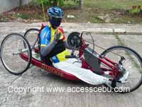
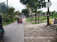
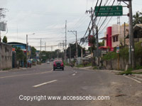
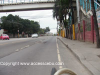
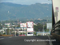
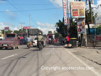
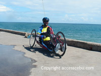
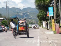
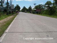
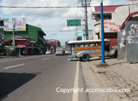
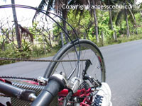
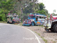
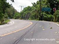
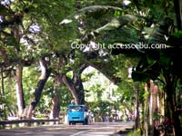
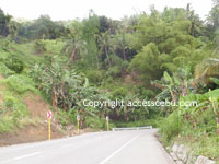
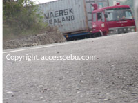
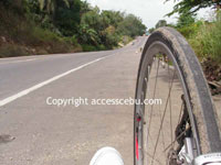
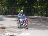
Handcycling RidesRiding your handcycle or bicycle in the Philippines can be quiet an adventure. The heat is one of the major obstacles, it does get hot during summer, so if possible I limit my rides to the early hours of the day or late afternoons. Drinking lots of water is essential to keep the body from dehidration, I use a 2 liter hydro from Deuter. Another thing is city traffic, pollution can be very bad and not all drivers take especial care of cyclists. On the other hand, traffic flow is relatively slow and there is a multitude of strange vehicles on the road, like Ice Cream Carts, Rubbish Wheelbarrows, Water Delivery Pedicabs, Tricycles and many other forms of transportations. So drivers are aware of these and and are alert accordingly. Furthermore, Filippinos do not drive aggressively so I personally feel safe to use the roads. Once out of town, riding your bike is sheer pleasure, hardly any traffic, good roads and often along the coast.
Riding at night though is not recommendable, street lights where installed
often do not work, many vehicles have no lights at all or use high beam
so oncoming traffic will just not be able to see you. Also, potholes can't
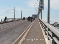
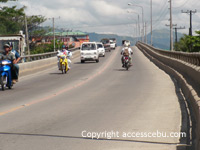
be seen. For my longer rides please go to Epic Rides Cebu RidesMactan Loop. This easy rides brings you around Mactan,
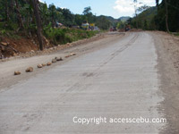
some parts of the Circumferencial Highway has been repaved in late 2006
to accommodate the Asean Summit. One lap is about 32 kilometers with no
hills to climb. Depending of the time of day, traffic is light.
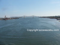
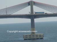
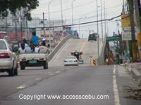
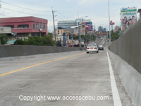
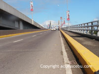
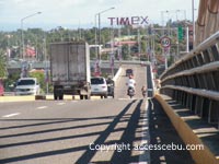
Mactan-Canduman-Talamban-Mactan. From Mactan take the road to the new bridge, across it lies Mandaue. Continue to Gaisanao Mandaue, there turn right and follow the north highway until Servitec, turn left, the road inclines but not very steep, you eventually get to Brgy. Talamban. From Talamban enjoy the slight downhill to Cabancalan, cross the north highway and go strait ahead, across the old bridge return to Mactan. Depending where in Mactan you started, the distance is somewhere between 35-45 km. The road is good throughout the ride, with some passages newly concreted .
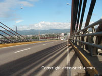
Mactan-Danao-Mactan. One of my favourite rides, the route takes me over the new bridge to Gaisano Mandaue, turn right and follow the highway all the way to Danao. Two hills are to climb at Consolacion, but nothing really to it. The bridge is also somewhat of a climb. Else the highway follows the sea on flat route, the biggest problem is the relentless traffic and pollution. It does get better once you get past Lilo-an. From Danao you can continue north, Carmen, Bogo and then cross the island or backtrack. Near Carmen the concrete plates have shifted so that that the cracks between plates are uneven which makes riding a bit uncomfortable. That section is about five kilometrs. My distance here is around 90 km.
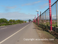
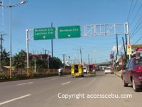
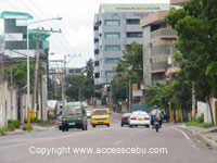
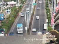
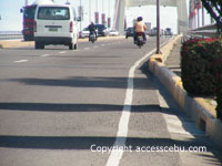
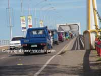
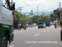
Mactan-Talisay-Mactan. Either across the new or the old bridge, Mandaue Reclamation Area, Port Area, SRP, Talisay and back. Unfortunately SRP is closed to cyclists now, taking the south highway is the alternative but that's a very busy road. No hills, app. 70 km. The Reclamation Area in Mandaue (Recle)is a favourite meeting spot for cyclists to gather for weekend races. The road is good except some areas of the Recle.
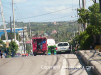
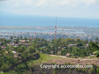
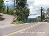
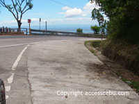
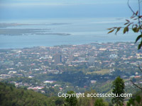
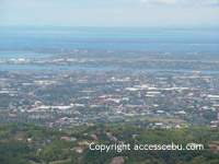
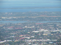
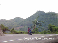
Mactan-Busay-Mactan. From Mactan through Mandaue, up to JY Mall and on the steep incline to Marco Polo Hotel. Brace yourself for some very steep climbing, it's really tough and you think the bloody mountain never has a top. There is always some more uphill behind the next bend. Popular route amongst cyclists, pushing your handcycle up there is a challenge. Once you make it you may be proud of yourself though, and the beautiful view and more so the downhill run compensates for the previous hard labour. You'll often meet other cyclists on the way giving encouragment. Road condition is good but not tarmac all the way, some is still concrete plates that makes the downhill bolt a bit bumby if you ride fast. My top speed there was 69.9 km/h. I'm working on it to beat that.
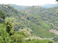
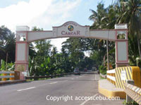
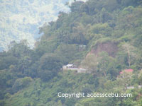
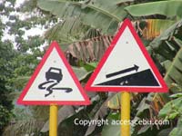
Mactan-Talamban-Guba-Busay-Mactan. From Mactan I took the old bridge, went up to Brgy. Banilad, past North General Hospital and on to Golden Haven Memorial Park. Here the first steep climbs started. Through forest and along rivers, the route really starts to incline, it was quite a challenge to reach Brgy. Guba, and I thought the worst was over. It only took 25 km so far, but the altitude at near 500 meters above sea level demanded some serious climbing. From Guba to Sirao I had a really hard time, I took a short break probably every 50 meters, for fear my arms were falling off. To top it off, a stretch of about 13 km was unpaved, luckily the surface was hard packed soil, so it wasen't that bumpy. That I took a wrong turn and had to climp back up some distance happnes sometimes. Eventually I reached the top of some mountain after neverending climbs, it went up and up and up, what a relief to have it done, and what a view! Riding downhill to Ayala Heights was a breeze, but the last hill was still waiting for me to be tackled. This stretch of road belongs to the Trans Central Highway. And that was tough. Real tough. Also, I ran out of water, good that at this altitude it wasen't too hot. I made it eventually to Busay, after many, many stops to catch my breath. From here the downhill rush was waiting for me, fist though I had some problems with the derailleur, the chain got stuck somehow and a clanging sound suddendly occuring left me riding cautiously at first. Passing Marco Polo, the rest of the trip through Recla and back across the old bridge brought me back home, exhausted but happy. Total distance cycled 65 km, it was definitely the hardest ride I ever did. Talisay-Caracar-Sibongan-Talisay. Mostly flat, but somewhat a busy highway until you get to Carcar. Alternatively turn right at San Fernando, and climb the mountain to Toledo. San Fernado-Toledo has now a great road, newly paved and little traffic. Steep. Good road surface.
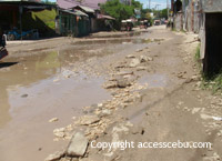
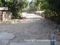
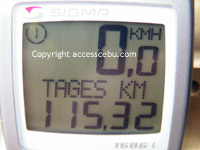
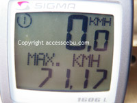
Talisay-Cantabaco (Toledo)-Camp 4-Talisay. I started at Talisay near the beach, the south highway is well paved but busy, at Naga turn right up the hill toward Toledo, the road is very good all the way to the top. It demands some climbing but it's well doable. Distance to the summit is 30km. At Cantabaco, the road takes a turn right and to poor condition. Its steep downhill about four kilometers to Springpark Resort, a good place for a break. I do not particularly like downhill since I know that what goes down must get up again. The road is under construction, so some rough riding is neccessary for about 10 km. Well, rough is an understatement, its like cycling in a riverbed, with mudbanks and boulders strewn all over the track. The construction crew said the road will be done in about three weeks. Probably philippine time, can't take this kind of promise for granted. But there were other cyclists, so no need to worry that I would end up somewhere at a dead end. After I did the last hill, I was rewarded with a great view and a spectacular downhill ride. The road is a bit narrow and sometimes there are sandy patches, so let's hope I don't need to break. My max sped was a bit over 58 km/h, due to the hairpin curves I did not dare go faster. Past Camp 4, I eventually reached the Talisay intersection where I said goodbye to my co-rider, and turned right towards SRP and back to the beach. The whole distance was almost exactly 60 km.
Talisay-Cantabaco-Toledo City
(Coast to coast)-Talisay Coast to coast ride across the island,
I did not dip the wheels in the ocean however. This ride goes as the previous
one, but from Cantabaco head straight down the mountain to Toledo City.
It's good downhill, I found the climb back from Toledo City to Cantabaco
not very difficult, easier than from Naga City up to Cantabaco. Seems
that I looked very tired, a driver of a tricycle transporting pigs offered
me a ride uphill, I wonder wether he meant piggy-back.
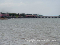
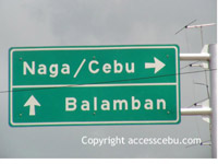
Aloguinsang-Toledo-Balamban-Asturias. It's nice to have the ocean on the other side of the road once in while. This area is ideal for cycling, the road is very good and there is hardly any traffic. Except the stretch between Toledo and Balamban, some very heavy gravel trucks ply this route and leave a dust and smoke wake that makes you hold your breath for a while. Topography is flat at a distance of just about 100 km roundtrip. Some beach resorts lie on the way, quiet nice and very friendly staff is the one at Pinamungajan (foregot the name), near Toledo City.
Liloan-Sogod. One day in 2006 we decided to go up north,
but to beat the traffic in Cebu we packed our bikes onto my Pick-up and
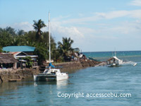
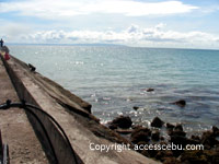
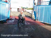
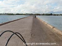
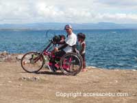
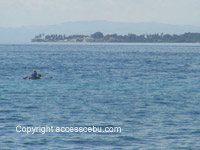
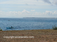
drove to Liloan. Olango. The barge from Mactan to Olango Island leaves just behind Hilton, there is a trip every 2 1/2 hours. Once on Olango, at the end (or beginning) of the long jetty choose any direction, the island is very small so you won't get lost, some stretches of the road network are unpaved and sandy but not very rough. The terrain is very flat and you'll enjoy great views. I used my old bike, Ray got my predecessor.
Punta Engaño. This ride was supposed to get us
once more to Olango, unfortunately things turned out differently than
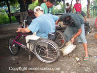
expected, after just a few kilometers Ray had his first puncture, unbelievably
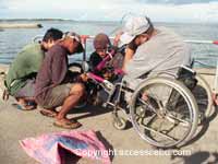
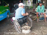
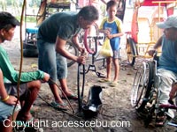
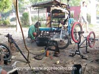
there were six holes to be fixed.
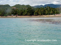
Bantayan RidesBantayan Island. This quiet little island off the northern tip of Cebu offers fine conditions for cyclists. The road, there is only one highway cuttting through the island north to south, is slightly hilly, the concrete pavement is good and there is virtually no traffic. It seemed a bit boring to me because the view was a trifle monotonous, and there is no other way than backtracking since there is no circumferential road. St. Fe to Bantayan is 11 km, Bantayan to Madridejos about 25 km. Some small Barangay Roads were well paved but they ended usually after just a few kilometers in some small village. |
NavigationLinks |
||||||||||||||||||||||||||||||||||||||||||||||||||||||||||||||||||||||||||||||||||||||||||||||||||||||||
| Copyright © AccessCebu 2006-08 | |||||||||||||||||||||||||||||||||||||||||||||||||||||||||||||||||||||||||||||||||||||||||||||||||||||||||